Geo-Powered Data Collection & Microplanning


Main features
Collect and Monitor
Build your Excel data collection forms (ODK format) and connect them to specific organization unit types (Region, District, Health Facility, etc.) for precise data organization and error prevention.
- Handles mass data collection
- Monitor data completeness
- Brand the web and mobile app (colors, logo)
- Limit users to their geography
- Link forms to Org unit types
- Validate data submitted from the field
- Filter by subregion
- Consult and search across all data submitted
- Compare submitted data
- Export high volumes of data collected in bulk

Geospatial Data Management
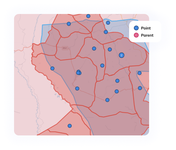
Oversee, refresh, and authenticate diverse organizational units – such as regions, districts, and health facilities, Master Lists and manage several geo data sources.
- Bi-directional DHIS2 integration
- Compare, match and and merge geographic data sources
- Trace all modifications to organizational units
- Keep your data clean and prevent duplicates
- Maintain your geo fully updated with regular feedback from the field
- Import/Export data in Geopackage, DHIS2, CSV, and others

Microplanning
On the field, the IASO mobile application will lead end-users to their pre-assigned data collection points or zones, even when data collection activities take place offline.
- Plan your data collection ahead and according to a certain timeframe
- Target specific geo points or zones
- Assign tasks to users
- Navigate users to the expected areas
- Ensure geo-accurate data collection
- Monitoring progress in real time
- Manage users teams

Entities
Entities can be individuals (e.g. health programme beneficiaries) or physical objects (e.g. vaccines parcel, mosquito net, etc.). Workflows allows the tracking of entities by opening specific forms according to previous answers given to previous forms.
- Create entity types (beneficiaries, stocks, or other)
- Assign workflows to entity types
- Register entities via mobile app (offline)
- Synchronize mobile and web applications
- Compare and merge entities as needed
- Record entity data in an NFC card

Data-driven health programs unlocked
IASO is an innovative, open-source, bilingual (EN/FR) data collection platform with advanced geospatial features to plan, monitor and evaluate health programmes in low and middle-income settings. IASO is recognized as a Digital Public Good, a testament to its proven impact.
-
25+implementations
-
100,000+mobile application users
-
3.5 million+form submissions
-
Geo data sources (National HMIS, Shape Files, etc)
-
Managing Geo data source(s)
Geo-enabled Microplanning
-
Data validation
Completeness monitoring
Dashboard with BI tools
-
Data collection
Geo data update
Trusted by
-
World Health Organization
-
The World Bank
-
USAID
-
 U.S. President's Malaria Initiative
 -
 Unicef
 -
 Gavi
Gavi -
 Bill & Melinda Gates Foundation
 -
 Cordaid
 -
 Lifenet international
 -
 Abt Associates
 -
 Centre for Humanitarian Dialogue
 -
 SANRU - Soins de Santé primaires en milieu Rural (DRC)
 -
 Cameroon Expanded Programme On Immunisation
 -
 Burkina Faso Ministry of Health
 -
 Cote d'Ivoire Malaria National Programme
 -
 Democratic Republic of Congo Ministry of Health
 -
 Niger Ministry of Health
Latest about IASO

With the addition of Entities and Workflows, IASO can today handle nutritional programmes tracking, and is currently used for the tracking of children under five and pregnant or breastfeeding women, helping to ensure they receive the necessary nutritional support.

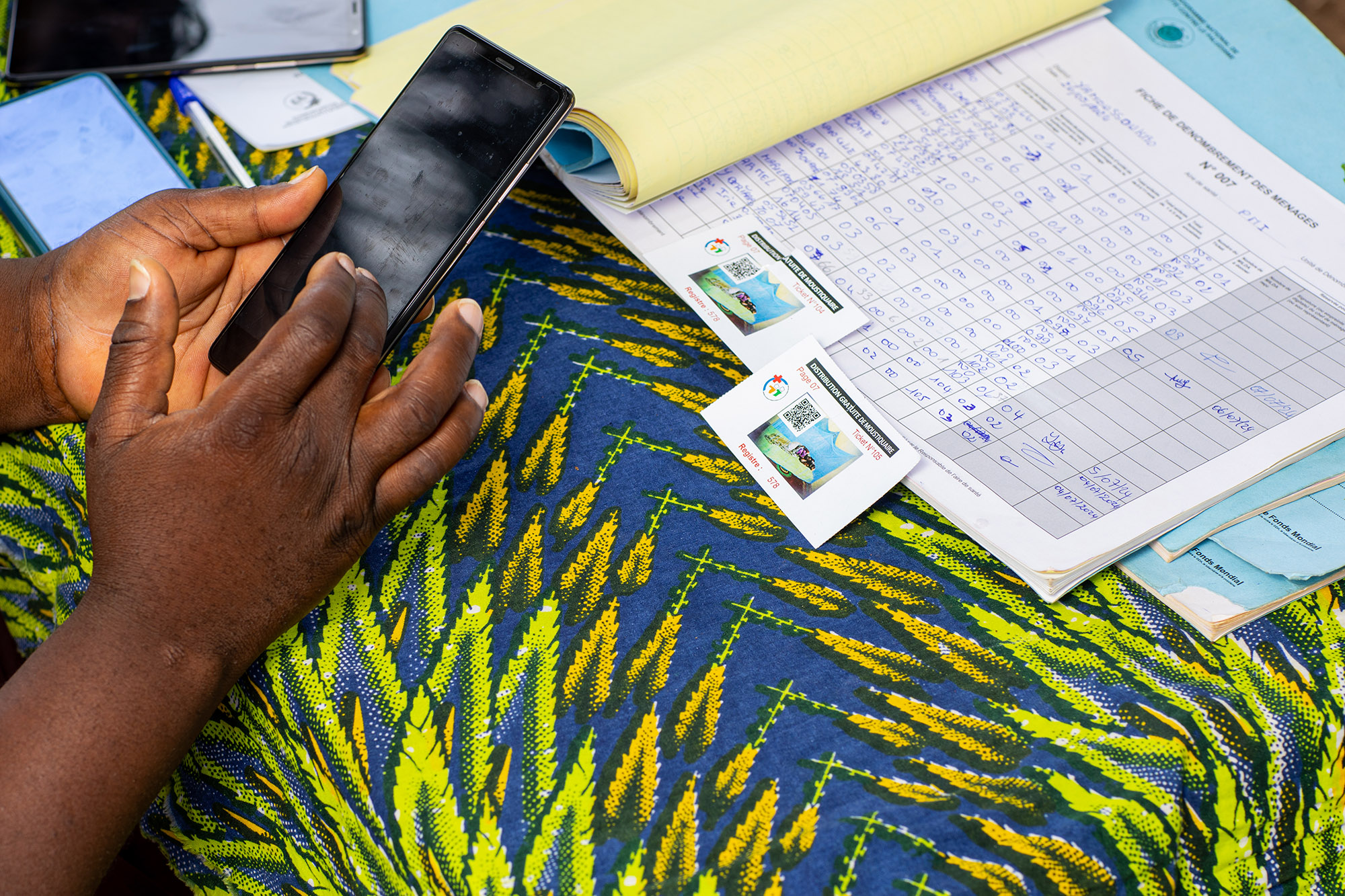
In 2024, Bluesquare worked hand in hand with the National Malaria Control Program (NMCP) in Côte d’Ivoire to digitalize the microplanning, household enumeration, and distribution processes of Long-Lasting Insecticidal Nets (LLINs) through the IASO digital platform.

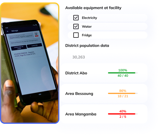
In the Democratic Republic of Congo (DRC), fragmented health facility data poses significant challenges to resource allocation and service delivery. IASO is implemented in the DRC to identify health facilities location and their available equipment and improve healthcare access assessment.

In Cameroon, the micro-planning of vaccination campaigns has traditionally been a manual, often cumbersome process. The digitization of this process, particularly through tools like IASO, marks a significant advancement in enhancing the efficiency and impact of these campaigns.

As part of efforts to improve healthcare coverage in Niger, the georegistry features of IASO have played a crucial role in identifying and managing 329 community health workers in the Tahoua and Dosso regions in 2024.

IASO has partnered with LifeNet International to develop a unified M&E platform that spans six countries—Uganda, Kenya, Burundi, the Democratic Republic of Congo (DRC), Malawi, and Ghana. This platform integrates geo-structured data collection, decentralized user management, and seamless DHIS2 integration, empowering LifeNet to improve healthcare coordination across its extensive network.

Two districts in Burkina Faso happened to have very low COVID-19 vaccination coverage. IASO was used to conduct a household survey according to pre-defined geographic areas, in order to guide future vaccination strategies.


